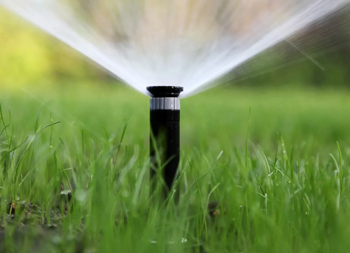
Peak heat on Western Pennsylvania clay exposes controller programs that still treat the whole lot as one lawn. Sunny parkway strips dry first. Shaded maple areas stay wet into morning. Slopes send spray downhill while upper banks stay tan. A zone map is a paper or phone sketch of those differences before you raise every station on the clock.
Keystone Green provides irrigation management and lawn care across Butler, Cranberry, Wexford, and surrounding communities. This guide is about mapping, not copying a neighbor's run times. It differs from earlier season pieces about spring settings or summer depth alone. Here the goal is a zone map you can hand a technician when the lawn looks uneven but the controller still runs the same minutes everywhere.
Step one: sketch the lot by light and slope
Walk from the street to the back gate at midmorning. Mark areas that stay in shade past ten o'clock. Mark south and west faces beside pavement. Note slopes that drain toward the garage or patio. Photograph three zones: best color, worst color, and a path people use daily.
Homeowners in Butler County and Cranberry often find the same controller waters a hot driveway strip and a north shade bed together. That sketch becomes your reference when you talk about splitting zones later. Lot width and tree canopy change from street to street, but clay behavior stays familiar once you name sun, shade, and slope on paper.
Write the date on the sketch. Peak heat in July and August moves the dry band faster than spring, and a dated map shows which areas changed first when you compare photos two weeks apart.
Step two: list every station and what it hits
Open the controller and write station numbers. Run each zone in daylight. Note whether spray hits turf, stone, mulch, or the street. Mark heads that stay buried, mist into wind, or throw short of the next head.
Coverage gaps on slopes deserve their own note. Read our coverage gaps on sloped clay article when upper banks stay tan while lower corners flood. Mapping comes first so you do not raise minutes on a station that never reaches the dry strip.
Stand at each head while the zone runs. Spray that hits the street or a stone patio is water your lawn never drinks. Those misses belong on the map beside the station number so a technician can adjust aim before you add time to the whole program.
Step three: separate sun minutes from shade minutes
Clay holds moisture once water enters, but packed clay can shed the first inch of spray. Deep, less frequent watering helps sunny areas. Shade under maples often needs less automatic water, not more. If one station covers both, note that conflict on the map.
Pair this step with shade and sun recovery habits when humid weeks keep leaf wet overnight in shade while sun still looks thin. A single run-time bump on that mixed station often creates dry strips on the hot face and wet corners under trees at the same time.
Push a screwdriver two inches into sun and shade areas on the same station after a normal cycle. Different resistance on one valve is proof the map should split sun from shade before peak heat sets the pattern for the rest of summer.
Step four: mark traffic and hardscape edges
Patio approaches, gate paths, and parkway parking change how water lands. Heads blocked by furniture or cars create dry arcs that look like drought. Write those dates on the map so irrigation visits are not scheduled when cars sit on the strip.
Thin turf beside stone often needs rest and defined routes as much as more water. Landscape maintenance and lawn care should share the same notes when guests cut across the same six inches every weekend. Read our midsummer fertilization and weed control article when color and weeds shift on the same clay lot after spray looks even on open lawn.
Mark where mowers turn beside walks and where kids cut corners to the gate. Compaction along those lines shows up as wiry grass long before open lawn fades. The map should name those seams so aeration and irrigation visits target the right band.
Step five: document and schedule
Save the sketch, station list, and photos. Bring them when you request a quote or call 412-822-9153. Ask for irrigation review first when the map shows coverage conflicts. Ask for lawn care when color is thin but spray already looks even.
Compare neighboring town notes on our locations pages when you manage more than one address. Clay behavior stays familiar. Lot width and tree canopy change. A clear zone map keeps peak heat from turning every symptom into a blind run-time increase.
Revisit the map after the first long hot stretch. Strips that dried in June may widen by late July when the same controller still runs spring minutes. Updated photos and station notes give a technician a clear starting point instead of a guess from the curb.